Ranch & Land
Ranch & Land Aerial Photography in North Texas
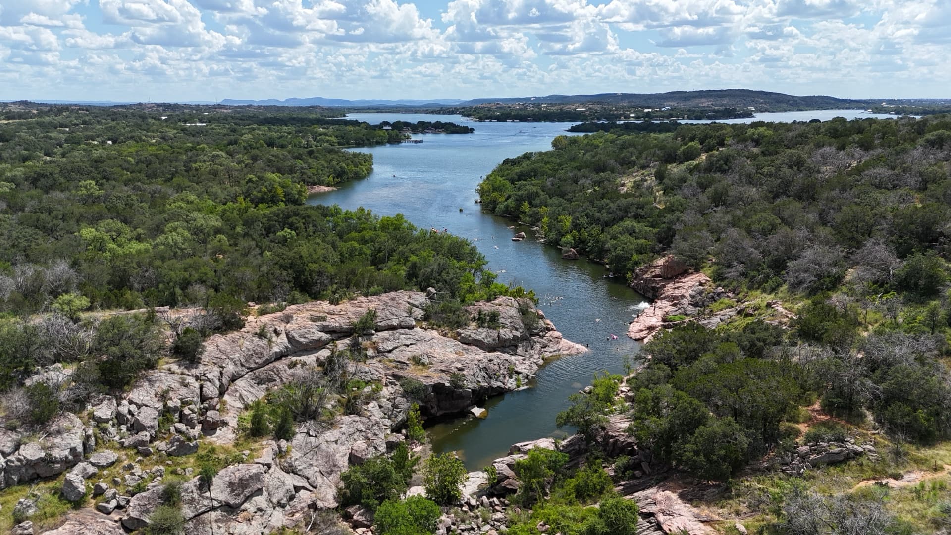
You can't sell 200 acres with photos taken from a truck window. Buyers evaluating land want to see the whole property at once — terrain, water, access, fencing, and improvements in proper relation to each other. One high-altitude aerial answers questions that forty ground photos can't. We serve Parker, Wise, Hood, Johnson, Denton, Tarrant, and surrounding counties — and travel for the right ranch.
What Your Listing Gets
Full-Property Aerials
The whole parcel in one frame, plus detail passes over tanks, creeks, barns, and pens.
Boundary-Line Overlays
Property lines drawn on the aerial from your survey or plat, so buyers instantly understand what they are looking at.
Cinematic Video Tour
A 60–90 second flyover cut for MLS, LandsofTexas, and social media.
Golden-Hour Scheduling
Texas land sells at sunset — we schedule flights for the light that flatters the property.
Water & Improvement Passes
Dedicated coverage of stock tanks, creeks, wells, barns, arenas, and outbuildings that drive land value.
48-Hour Turnaround
Edited, listing-ready files delivered before your property goes live.
Industries Served
- Ranch & Land Brokerages
- Farm & Ranch Sellers
- Recreational Land
- Equestrian Properties
- Hunting Properties
- Land Developers
Why Choose LNDMRK Drone?
FAA Part 107 Certified
Compliant commercial operations on every flight.
Fully Insured
Liability certificates available for every project.
Fast Turnaround
24–48 hour delivery on most deliverables.
Ranch & Land Aerial Photography — Common Questions
How much does ranch photography cost?
Can you show property lines on the photos?
How large a property can you cover?
Do you travel outside the DFW area?
Ready to See Your World From Above?
Contact us for a free quote. We respond within one business day.
Book a Flight