For Architects & Landscape Architects
You don't need a highlight reel. You need data you can design from.
Most drone operators fly for marketing. LNDMRK flies for site analysis — every mission is planned around the questions you'll be answering at your desk, not around what looks good on Instagram.
What a site-analysis mission includes
Orthographic top-downs at 250–350 ft
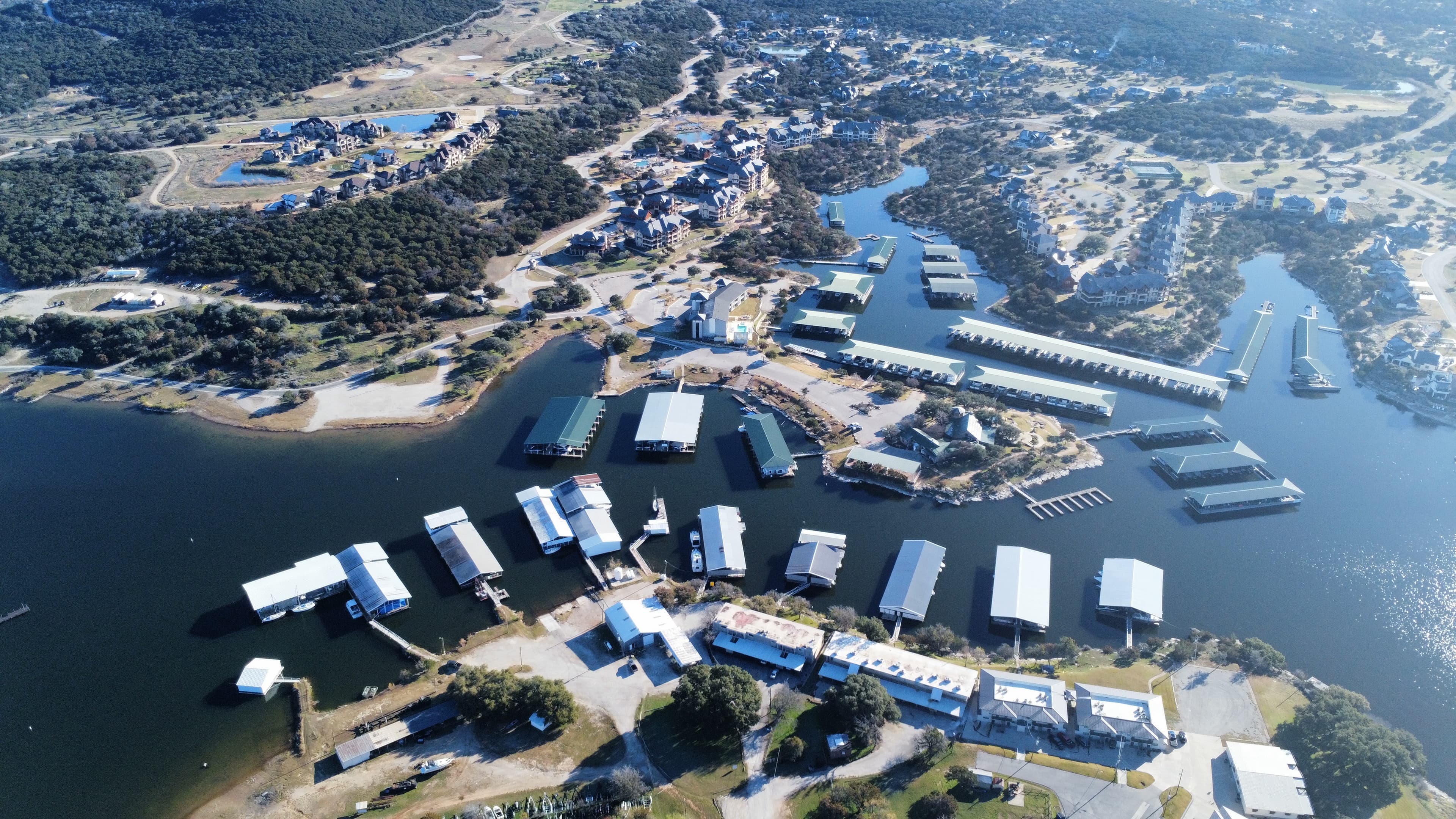
True straight-down frames of the full parcel, plus oblique views from all four compass directions. Your master planning images.
Hover studies over candidate building sites
360° rotations at 15, 30, 60, and 100 ft, so you can evaluate view corridors, solar orientation, privacy, and tree preservation from porch height to planning height. Composite your massing model straight into the frames.
Orthomosaic, contour, and 3D terrain outputs
Overlapping mapping passes processed into measurable products for utilities, drainage, grading, and placement studies.
Continuous connective flights
Uncut passes between parcels, from entry to building site, at both eye level (6–8 ft) and canopy height, for sightline and sequence analysis.
Seasonal return flights
Leaf-off documentation that reveals terrain, drainage, and neighboring structures the summer canopy hides.
Why it matters
A two-hour flight before schematic design routinely saves a site visit — and catches the things a site visit misses: how the parcel reads from above, where the true high point is, what the client will actually see from the second floor.
Deliverables built for your workflow
Every mission delivers raw 4K footage in a flat color profile (D-Log) alongside any edited material — so you can pause on any frame, measure relationships, and build overlays. You get the original files, not just exports.
Serving North Texas · FAA Part 107 certified & insured
Ready to See Your World From Above?
Contact us for a free quote. We respond within one business day.
Book a Flight