For Land Buyers
The most important flight happens before you sign.
Walking a property tells you what it feels like. Flying it tells you what it is. A one-hour drone mission during your due-diligence window answers questions that are invisible from the ground.
Questions a due-diligence flight answers
What does the whole parcel actually look like?
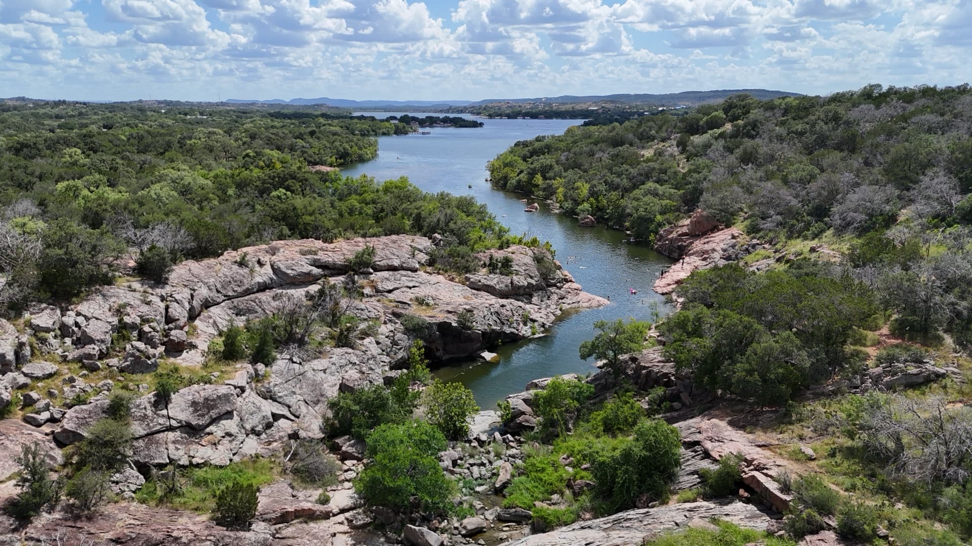
A 300-ft overview shows the true shape of the land, its relationship to roads and neighbors, tree lines, and existing structures — in one frame.
Where could the house go?
Hover studies at porch height (15 ft) through planning height (100 ft) over each candidate site show you the views, the privacy, and the sunrise/sunset orientation you'd actually live with.
What's the terrain doing?
Mapping passes produce contour and 3D terrain models that reveal drainage patterns and grade — the things that turn a cheap parcel into an expensive build.
What are you not seeing?
Winter (leaf-off) flights expose fence lines, neighboring rooftops, and low spots that summer canopy hides. If you're buying in summer, this is worth knowing about.
What would it feel like to live there?
Walking-height flights at 6–8 ft along future paths — driveway to house site, house site to pasture — let you experience the property before you own it.
A note on access
We fly only with the current owner's or listing agent's permission — usually a quick ask during an option period, and often something your agent can arrange same-week.
Deliverables built for your workflow
Raw 4K footage of everything (flat color profile, original files), plus stills and any mapping products you ordered. If the deal falls through, the footage cost you a fraction of one survey. If it goes through, you've already started your site plan.
Serving North Texas · FAA Part 107 certified & insured
Ready to See Your World From Above?
Contact us for a free quote. We respond within one business day.
Book a Flight