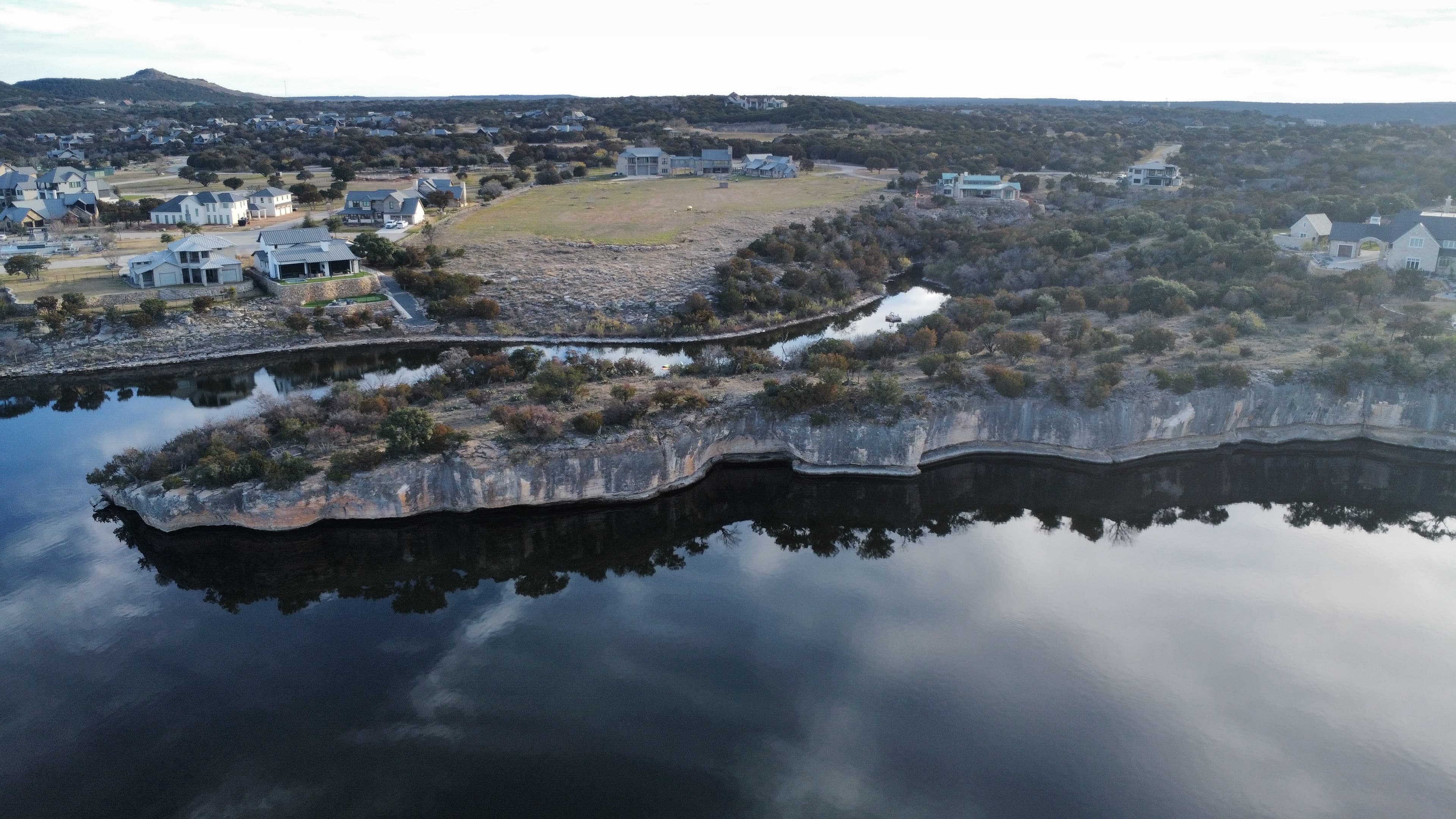
For Equestrian Properties
Horse properties are planned from above.
Pasture rotation, fencing runs, barn placement, sightlines from the house to the horses — every one of these is an aerial question. LNDMRK flies equestrian properties for owners who are planning them, improving them, or listing them.
For owners planning or improving
Full-property overviews
Flights at 250–350 ft showing pasture shapes, tree shade coverage, water access, and how the tracts connect.
Fencing and cross-fencing studies
Continuous flights along existing and proposed fence lines, with leaf-off winter flights that make every line visible.
Barn and arena siting
Hover studies over candidate locations to check drainage, distance from the house, prevailing-breeze orientation, and the view of the horses from the kitchen window (the sightline everyone actually cares about).
Pasture visibility from the future homesite
Rotations at porch height so you know you'll see the horses from the porch before the porch exists.
Contour and terrain mapping
Measurable products for drainage, arena pads, and turnout planning.
For sellers and agents
Golden-hour estate cinematics, arrival flythroughs from the gate, and walking-height passes along the fence lines — the footage that makes an equestrian listing feel like an estate rather than acreage with a barn.
Flying around horses, carefully
Every mission starts with a conversation about the animals: launch sites away from turnout, altitude floors over occupied pastures, and slow, predictable flight paths. If a horse says no, the horse wins and we re-plan.
Deliverables built for your workflow
Raw 4K flat-profile footage and original files with every mission, plus edited cuts, stills, and mapping products as ordered.
Serving North Texas · FAA Part 107 certified & insured
Ready to See Your World From Above?
Contact us for a free quote. We respond within one business day.
Book a Flight